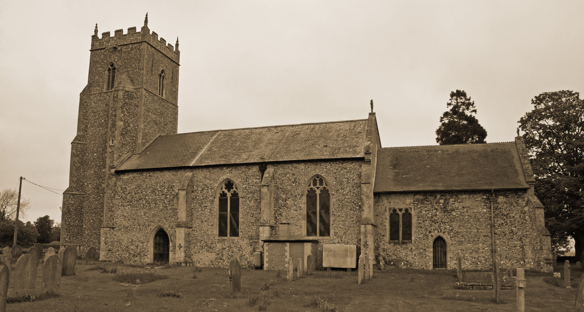
Tharston, The Village
by Paul Cattermole
Chapter 2 : The parish boundaries
Much of the boundary between Hapton and Tharston is defined by a branch of the River Tas, referred to in old Tharston and Forncett documents as the Nelland River. Although now shallow and insignificant for most of the year, there is no doubt that boats came up the river in the 14th century. A Hempnall document of 1387 referring to the transfer of a tenement called "Plowmans", requests permission from the Manor Court to put up a building with access to the quay there, so the river was clearly navigable. It is interesting to notice how the Tharston parish boundary has been stretched to give access to a short stretch of the river bank, suggesting that there may have been a parish staithe just above the present Tasburgh ford. The river traffic probably consisted of shallow barges, which would navigate only in winter, when floodwaters filled streams that were much fleeter at other times of the year. This seasonal traffic would have allowed quite heavy cargoes (particularly building materials, foreign timber and iron) to be brought up from Norwich. When in spate the river waters would have been a considerable obstacle where they crossed main roads, and the Hundred of Depwade probably takes its name from a deep ford which made the old Roman road between Tasburgh and Stratton hazardous during much of the winter.
Where there was no physical feature to mark the boundary, it was important for parishioners to know their limits. The parish records show that the boundaries were walked each year; and that the churchwardens provided food and drink for those who had taken part in this exhausting activity. Sections of the route along the boundary dividing Tharston from Forncett are called the "Processional Way" in old charters; and boundary disputes with neighbours, usually over infringements of common-rights, must have been relatively common. The parish records show that the Tasburgh people were not averse to taking furze from the Low Common, and that the Stratton St. Michael folk were a sufficient nuisance for the Surveyor of Highways to be instructed to stop up Brand's Lane against them. As late as 1832 it was considered necessary to have a new boundary mark between Tharston and Wacton, at Blyth's Green.
< Chapter 1: Introduction - Chapter 3: The Open Fields >
(c) Barbara Cattermole and family, first published in 1993 by Paul Cattermole. No part of this publication may be reproduced, stored in a retrieval system, or transmitted in any form, or by any means, without the prior consent of the author's family.

Page last updated: 11 February 2019

