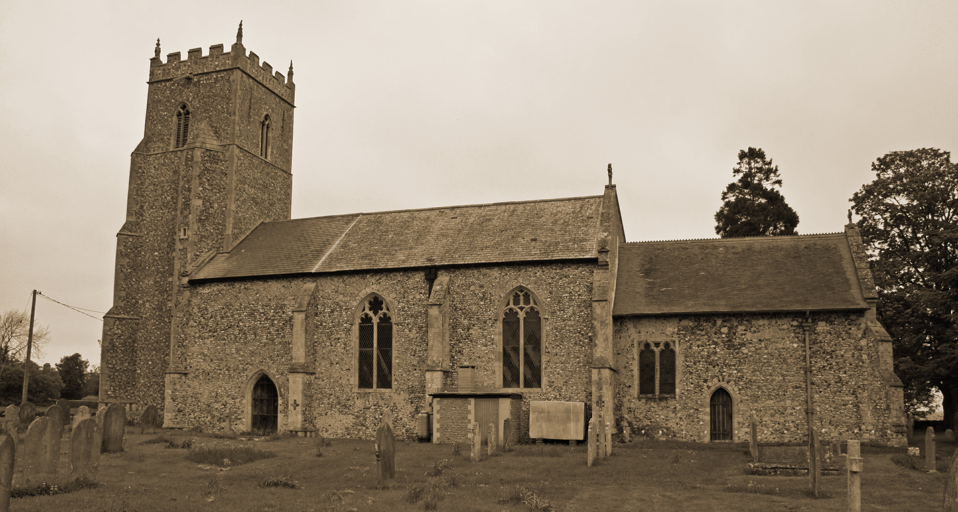
THarston, The Village
by Paul Cattermole
Chapter 3 : The Open Fields
Hapton is one of the few places in Norfolk where strip fields survive into the 20th century; but in Tharston they have left only the slightest traces on the landscape. The odd section of field boundary, perhaps out of alignment with the rest, or two or three pollarded ash trees which mark the headland of a particular furlong, are all that remain on the ground today; but the Tithe Map and the Inclosure Award show that lines of the open fields dictated much of the geography of early 19th-century Tharston. The earliest cultivated fields were probably Welham's Field, between Low Tharston and "Ulsonnes Street" (Long Lane); and the "Dale Field" extending from Park's Lane to Long Lane. As the village expanded, woodland would have to be cleared before "Westgate Field", at the end of The Street, could be cultivated; and the field boundaries shown on old maps suggest that three other open fields, 'Bunn's Baulk", "Nelland Field" and 'Westling's Wong" came into cultivation rather later, perhaps in the 10th century.
Much of the common plough-land mentioned in Domesday was inclosed by the 15th century; and the Manor Court books record numerous instances where narrow strips of land had been exchanged between tenants to form larger and more workable units. A few very old hedgerows survive, which once separated these "closes" from the open fields; but the 1805 inclosure map shows parts of the village where the ownership was still divided between several tenants, each of whom held narrow strips of unfenced arable land. The last of the strip fields to survive intact were Nelland Field and Burns Baulk Field, lying near the north-western corner of the parish, with a few strips of the Dale Field on the south side of Long Lane; and the footpaths and "dragways" which gave access to them are shown on early editions of the Ordnance Survey maps.
Grain grown in the village needed to be ground into flour; and Domesday refers to a mill in Tharston, doubtless a water-mill on the site of the existing mill. At various times there have been at least three windmills in the parish: one near the water-mill, another in the loke joining Long Lane (formerly Haycroft Lane) and the Low Tharston road, and a third at Highfields.
< Chapter 2: The Parish Boundaries - Chapter 4: Woodlands >
(c) Barbara Cattermole and family, first published in 1993 by Paul Cattermole. No part of this publication may be reproduced, stored in a retrieval system, or transmitted in any form, or by any means, without the prior consent of the author's family.

Page last updated: 11 February 2019

